Village, Market Town or Coastal Port: What the Layout Reveals
Village, market town or coastal port? Read street patterns, terrain and shared spaces to understand how a settlement works beyond its label.

The common mistake is to trust the sign at the town boundary: “village”, “market town” or “port” can tell you less than the streets themselves. To read a village, market town or coastal port layout, look first at the routes, the ground beneath them and the places where paths converge; a label may describe history or status, while the plan offers clues about how the settlement works.
Read the street structure
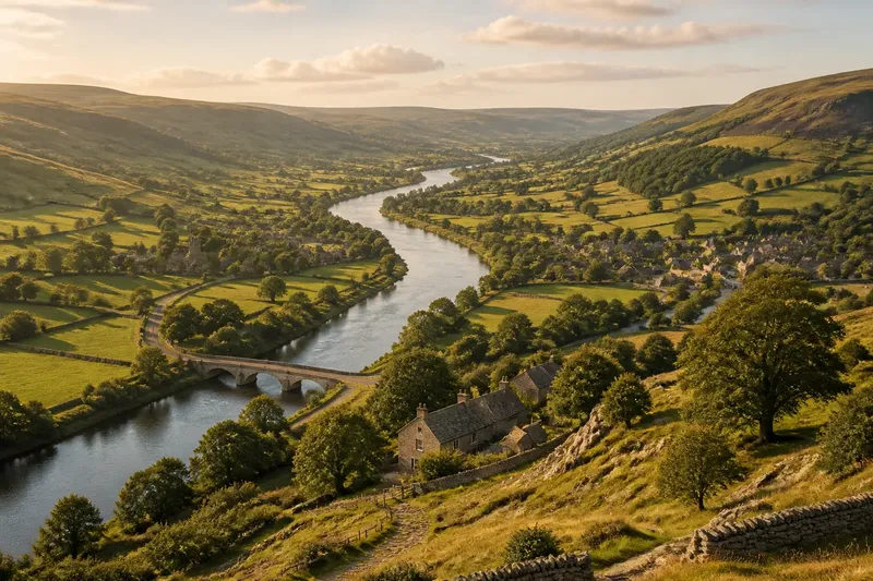
A village often has a modest, legible core: a main street, a green or churchyard, and lanes branching towards farms, fields or neighbouring hamlets. Yet “small” does not mean “simple”. A village stretched along a ridge or valley road may have several clusters, with no single square at its centre.
A market town is more likely to have a connected web of streets around a recognisable centre. Look for a broad street, market place or widened junction, then notice how side streets feed into it. The important clue is not a grand-looking building but the way routes seem to bring different parts of the settlement together.
In a coastal port, the street pattern often has a practical pull towards a harbour, quay, beach landing or sheltered inlet. Lanes may funnel towards the water, while buildings near the shore turn their fronts, yards or entrances towards former working space. A port need not have a neat waterfront promenade: a working edge may be narrow, altered or partly hidden behind later development.
These are tendencies, not rules. A village can have a busy crossroads; a market town can sprawl along a single road; a port can grow inland well beyond its harbour. Read the arrangement as evidence of relationships between places, not as a test that assigns one correct category.
Notice the terrain
Ground is an active part of a settlement’s plan. On a steep slope, streets may climb in short runs, bend around contours or meet at awkward angles. The route that appears indirect on a map may be the easier way on foot, while a flatter street may mark a later extension rather than the original centre.
In low-lying ground, pay attention to raised roads, abrupt changes in street direction and open plots that interrupt the building line. Such features can reflect drainage, former marsh, floodable land or the need to keep a route on firmer ground. They do not, by themselves, prove why a street was placed there; they help you ask a more grounded question.
Coastal terrain creates its own choices. A headland can offer shelter on one side and exposure on the other; a narrow strip between cliffs and water can constrain building and movement. Compare the settlement’s compactness near the shore with its shape farther inland. That contrast may reveal where the ground allowed growth, even when the harbour itself has changed.
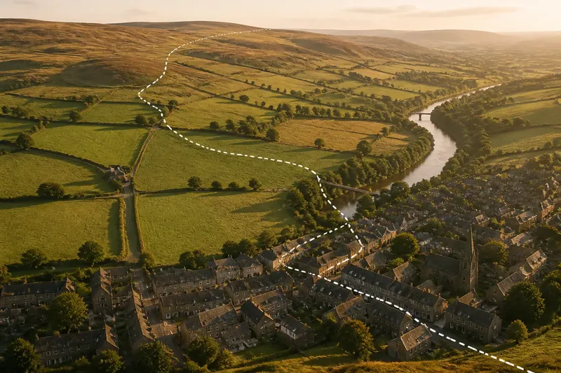
For a village, the edge between houses and working land can remain especially clear. Look for lanes that become tracks, buildings that face a shared green, or a settlement that follows a contour rather than crossing it. In a town, later streets may blur that edge, but a change in block size or road alignment can still mark where the older core gave way to expansion.
Find the shared spaces
Shared spaces are useful clues because they show where movement and gathering meet. In a village, that space might be a green, a churchyard, a well, a bus stop or simply a widening beside the main road. Its scale may be small, but its position can explain how people reached common services or met along a route.
A market town’s centre often has more than one kind of shared space. A market place may sit near shops and civic buildings, while a church, station or later retail street pulls activity in another direction. Notice whether these places are joined by direct routes or separated by a steep climb, a major road or a change in street character.
At a port, the shared space may be the working waterfront rather than a formal square. Quays, slipways, boat yards and open ground beside the harbour can connect the town to maritime activity. If a seafront feels like a separate strip, check how streets link it to the older centre; a weak connection may reflect changing uses, altered access or a newer leisure edge.
Not every open space is a social centre, and not every centre is open. A school yard, station forecourt or churchyard may be visible on a map but not freely accessible. Treat the map as a prompt, then use signs and public access information on the ground. It is not worth guessing the original function of every odd-shaped plot when its present position already helps explain the layout.
Compare settlement patterns
Compare each settlement using the same clues: where routes meet, how the built-up area touches the surrounding land, and whether streets connect with the shore. This keeps the distinctions useful without treating them as rigid categories.
What makes a village layout distinctive?
Look for a small core, a clear relationship with nearby countryside and routes that connect scattered parts of the settlement. The strongest clue is often how the built-up area meets the land beyond it, not whether the village has a green or a church.
How can you recognise a market town?
Look for a centre that gathers several routes and a street network serving more than one surrounding district. A broad street or market place can be a clue, but the surrounding connections matter more than the name on a sign.
What does a coastal port layout look like?
Trace the streets towards the shore and identify where the town meets the water: a quay, harbour, landing place or sheltered inlet. Then compare that edge with the inland street pattern to see whether maritime access appears to have shaped the settlement’s core or only one part of it.
Can one settlement fit more than one type?
Yes. A port may also serve as a market town, while a large village can acquire a more complex centre as new roads and services arrive. Use the categories as lenses for reading different functions, rather than forcing a place into a single box.
Choose a reading method
If you want a quick impression, start with a street map and trace the main routes into the centre. This suits a short visit or a first look at an unfamiliar place: it helps you see whether streets converge, follow a line or turn towards the coast. Keep the question narrow—where do routes meet?—rather than trying to explain every bend at once.
If you are walking the settlement, begin at a shared space and follow one route out towards its edge. This helps connect the map pattern with the feel of the terrain. Notice changes in slope, street width, building frontage and the point where houses give way to fields, open ground or the shore.
For a careful comparison, set a village, a market town and a coastal port beside one another on maps at the same scale. Mark the main route, the likely centre, the clearest change in terrain and the connection to surrounding land or water. Using the same prompts prevents a large town’s detail from overwhelming a smaller settlement’s simpler pattern.
Say you are looking at an invented coastal settlement with a compact cluster around a sheltered inlet and another group of streets climbing inland. Trace the lanes from the upper cluster towards the water, then check whether a public space links them to the harbour. If the routes converge there, the layout suggests a shared connection to the shore; if they gather instead around an inland junction, note that the settlement may have more than one centre.
Weigh the evidence
Use “village”, “market town” and “port” to describe the roles a settlement appears to have, not as substitutes for looking. Street structure shows how movement is channelled; terrain helps explain the routes people chose; shared spaces reveal where separate parts may have met. Together, those clues make a more convincing reading than any single landmark.
When the evidence is mixed, keep the description mixed too. A place may be village-like in scale, a market town in its connections and a port in the way its streets reach the water. To understand a village, market town or coastal port layout, follow those connections on foot where possible and note how the land shapes them.