Why Rivers Become the Quiet Organisers of a County
Read rivers on a county map by tracing how valleys connect settlements and routes, while spotting where terrain alone cannot explain the pattern.
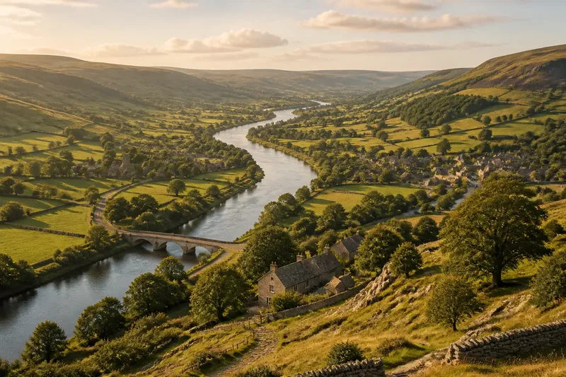
The common mistake on a county map is to treat a river as a blue line that villages happen to sit beside. That can obscure the broader valley, whose lower ground, crossings and gentler routes may help organise settlement and movement. Read the river with the land around it, and the map begins to tell a more careful story.
Read the valley
A river occupies low ground between higher slopes. Its valley may be broad and shallow, or narrow enough for steep sides to press close to the channel. That shape can matter more to journeys and building sites than the water itself: a route following a valley may avoid repeated climbs, while a settlement may favour a terrace above the floodplain rather than the riverbank.
On a general map, start with the blue line, then look outwards. Contours, shaded relief and surrounding hills can reveal whether the river sits in an open corridor or a confined cleft. If the map lacks relief detail, bends and tributaries offer clues, but keep your reading provisional: a simple county map cannot show every slope or hollow.
The valley’s influence can extend well beyond its banks. It is a strip of connected terrain, not a single point on a map, and may offer a continuous way through a landscape where ridges divide neighbouring places.
Trace settlement links
Settlements along a river valley often form a loose chain rather than a neat row at the water’s edge. A village may stand where a tributary meets the main river, on a shelf above the floodplain or near a crossing. Each position links the settlement to the valley route and the land around it.
Look for clusters at junctions. A tributary brings its own smaller corridor, so its meeting with the main valley can become a point where routes converge. A town on a raised spur may overlook a crossing or avoid low ground while staying connected to the valley. A map can suggest these relationships, though it cannot explain by itself why a site was chosen.
Imagine a county map showing three villages along a broad valley and a fourth beside a tributary junction. The contours indicate that the first three share a relatively level corridor, while the fourth connects two smaller valleys. The pattern suggests linked routes shaped by the land; it does not establish that the river alone founded or sustained those settlements.
Read the crossings
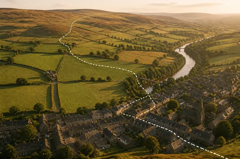
A river is both a route corridor and an obstacle. Following its valley may make travel easier, but crossing the channel can concentrate movement at particular points. Look for bridges, road bends, converging tracks or settlement clusters near a crossing: each may connect areas that the river otherwise separates.
Do not assume every bridge marks the oldest or most important route. A modern road may cross where engineering makes it convenient, while older movement followed a ford, ferry or different bridge nearby. General maps often simplify such changes into one line, so compare the road pattern with the terrain and, if available, maps from different periods.
A road along one bank may turn towards a bridge where a valley narrows or the banks are accessible. Yet a map may not show the ground conditions behind that choice. Treat the crossing as a point to investigate, not a complete explanation.
Separate terrain from cause
Rivers can make some choices easier without making them inevitable. A flat valley floor may suit a route, but flood risk, wet ground or steep banks can push buildings on to higher land. Industry, land ownership, administrative decisions and later transport links can all leave marks that look, from above, like simple responses to the landscape.
Keep three observations distinct: where the river runs, where the valley offers a corridor, and where people actually built roads or settlements. Then ask whether the features align. If they do, the terrain is a plausible influence; if they do not, the mismatch may point towards another factor or a change over time.
Tracing every tiny bend on a small-scale county map and assigning it a human meaning is not worth the effort. The printed line may be generalised, and a minor curve rarely explains an entire settlement pattern. Follow the broad valley and major junctions first; add detail only when a particular place raises a real question.
What can a map answer?
Why do villages follow river valleys?
A valley may provide connected lower ground, access to crossings and a route through higher terrain. Villages can also sit above the floodplain or beside tributaries, so read their position in relation to the whole valley rather than only the riverbank.
Does a river always mark the main route?
No. A river valley may offer a convenient corridor, but roads can follow ridges, coastal edges or routes shaped by later decisions. Compare road lines with the relief instead of assuming the nearest river dictated their course.
Why are some settlements set back from the river?
Higher ground can offer a suitable building site while remaining close to water, a crossing or a valley route. A general map may show the separation, but usually cannot reveal local ground conditions or the decisions behind it.
Can a county map explain why a town grew?
It can show clues such as a valley junction, a crossing or a connection between corridors. Growth also depends on choices and historical circumstances that a landform map may not record, so treat the map as a starting point rather than a verdict.
Layer the map evidence
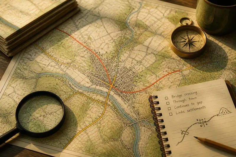
Begin by tracing the river, then identify the valley’s shape and the tributaries that join it. Mark settlements, crossings and routes, and look for places where those features converge or pull apart. Each layer adds a question instead of forcing one tidy answer.
For a closer look, compare a general county map with a contour map or shaded-relief view. Check whether a settlement lies on low ground, a terrace or a spur, and whether the road follows the valley or cuts across it. If maps differ in detail, note the difference rather than trying to make them tell the same story.
A river’s quiet organising work is not a command laid across the county, but a corridor of possibilities shaped by land, crossings and human choices. Read the valley alongside its settlements and routes, and a river becomes a useful guide to county geography without turning into an all-purpose explanation.